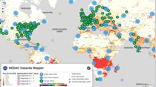
Two projects by the University of Oxford aim at creating create information, using satellite imageries, for key decision makers in each country so that they are able to intervene as early as possible to protect environmental disasters.
(EurekAlert!)–The challenge of providing a rapid response to environmental disasters as varied as flooding, drought, illegal logging and oil spills is the focus of two new projects in which the University of Oxford is a key partner.
Using satellite imagery as a starting point, the aim of both projects is to create information for key decision makers in each country so that they are able to intervene as early as possible to protect people and the environment. The advantage of satellite data is that it can quickly identify small changes on the surface of the earth or sea that may be indicators of a larger problem in the making. A new ‘hole’ appearing in a forest can provide evidence of illegal logging, or a slight color change in crops may show the early effects of drought. Combining data from these images with other data sources has the potential to create powerful information for governments and other actors so as to protect environmental disasters before they happen.
In Malaysia the project consortium will be working with government agencies to tackle flooding, oil pollution and illegal logging, all of which pose serious social and economic threats to Malaysian people. Monsoon flooding is a major annual issue, and the project aims to enable evacuation plans and flood defenses to be activated much faster. It will also generate data that will help the authorities to quickly identify and track oil leaks from shipping which are causing irreparable damage to Malaysia’s mangrove swamps, and to locate areas where illegal logging is taking place.
In Ethiopia and Kenya the focus will be on creating an improved understanding of flood and drought risk, thus helping to build local people’s resilience to these natural disasters and alleviate poverty. The intention is to use the same data to provide an emergency response where needed and to help develop longer-term strategies and solutions to drought and flood. In Kenya the project will also be generating tools to support the micro-insurance market, which is of key importance to farmers who have little or no access to insurance, by providing independent data about crop damage to verify farmers’ claims.
Satellite imagery is very useful for quickly generating independent data from a wide variety of events on the earth as they unfold. The difficulty is how to organize and process this vast quantity of data and to combine it with other data from the earth’s surface so that it can be used to inform decision-makers in the most effective way. There may also be gaps in the data, or some of it may be unreliable.
Read the complete story at EurekAlert!
——
See also:
- EVENT: Global Green Growth Week 2017
- Video Competition: “Uniting for Climate Action” by World Bank
- Ethiopia Launches 15-Year National Adaptation Plan to Address Climate Change
- Arsi University College of Agriculture and Environmental Science Launches Two New Programs
- Ethiopia: AAU’s Center for Environmental Sciences and Canadian Embassy Stage Dialogues on Climate Change
